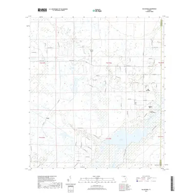
2018 Map of Old Myakka
USGS Topo · Published 2018About this map
Old Myakka stands as a central community in this landscape, where the Myakka Cem and the nearby Caloosa Indian Mound reflect a deep history of habitation along the eastern edge of Sarasota County. The terrain is defined by a complex network of wetlands and drainage systems, including the prominent Cow Pen Slough and Tatum Sawgrass, which feed into the Myakka River and Lake Myakka. This area illustrates a unique Florida settlement pattern where private aviation access, represented by Schwartz Farms Inc Airport and Hidden River Airport, integrates with rural residential pockets like Hidden River and Utopia.
Find a feature on this map
71 named features on this map. Tap any name to fly to it.
Don’t see what you’re looking for? This feature index may not catch every label — zoom into the map to look around manually.
Map Details
Editions of this 2018 Old Myakka Map
This is the sole edition of this map. No revisions or reprints were ever made.
Other maps of this area

1943 · Laurel
USGS Topo · 1:24,000

1944 · Lower Myakka Lake
USGS Topo · 1:31,680

1944 · Verna
USGS Topo · 1:31,680

1944 · Laurel
USGS Topo · 1:31,680

1944 · Lorraine
USGS Topo · 1:31,680

1944 · Miakka
USGS Topo · 1:31,680

1947 · Bee Ridge
USGS Topo · 1:24,000

1956 · Myakka City
USGS Topo · 1:24,000

1956 · Myakka City NW
USGS Topo · 1:24,000

1956 · Murdock NW
USGS Topo · 1:24,000