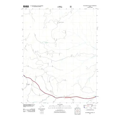
2011 Map of Old Woman Plateau
USGS Topo · Published 2011About this map
Old Woman Plateau dominates this high-altitude landscape in Sevier County, where a complex network of seasonal drainages and springs defines the land use and accessibility. The presence of Saleratus Reservoir and Saleratus Creek indicates a long-standing reliance on water management for ranching and resource extraction in this arid region. The lower elevations are marked by the courses of Ivie Creek and Coal Mine Creek, which parallel the modern highway corridor, suggesting the historical importance of these natural paths for travel and industry. From the isolated Mud Spring in the north to Horseshoe Hollow in the southwest, the map traces the intersection of Forest Service routes like F S 013 with a rugged topography of hollows and plateaus that has shaped Sevier County's development into the early 21st century.
Find a feature on this map
17 named features on this map. Tap any name to fly to it.
Don’t see what you’re looking for? This feature index may not catch every label — zoom into the map to look around manually.
Map Details
Editions of this 2011 Old Woman Plateau Map
This is the sole edition of this map. No revisions or reprints were ever made.
Other maps of this area
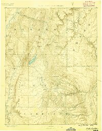
1885 · Fish Lake
USGS Topo · 1:250,000
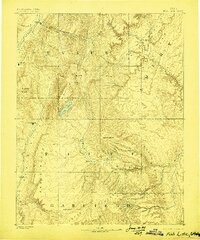
1896 · Fish Lake
USGS Topo · 1:250,000
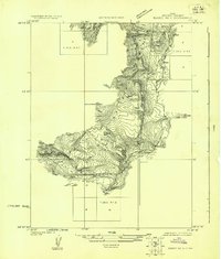
1922 · Emery No.3
USGS Topo · 1:31,680
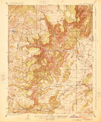
1925 · Acord Lakes
USGS Topo · 1:62,500
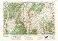
1956 · Salina
USGS Topo · 1:250,000
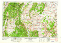
1960 · Salina
USGS Topo · 1:250,000
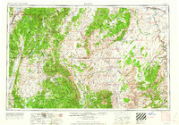
1962 · Salina
USGS Topo · 1:250,000
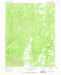
1966 · Water Hollow Ridge
USGS Topo · 1:24,000
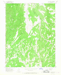
1966 · Yogo Creek
USGS Topo · 1:24,000
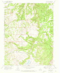
1968 · Johns Peak
USGS Topo · 1:24,000