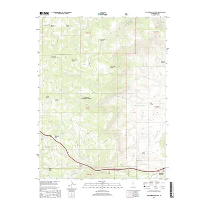
2017 Map of Old Woman Plateau
USGS Topo · Published 2017About this map
Fishlake National Forest encompasses much of this high-elevation landscape, where the Old Woman Plateau rises above a complex system of canyons and hollows. The eastern edge of the Sevier County highlands is defined by the Saleratus Benches and the winding course of Saleratus Cr. In the southern portion of the map, the junction of Ivie Cr and Clear Cr marks a natural corridor used by travelers and industry alike, evidenced by the proximity of Fremont Junction and Post Hollow.
Find a feature on this map
48 named features on this map. Tap any name to fly to it.
Don’t see what you’re looking for? This feature index may not catch every label — zoom into the map to look around manually.
Map Details
Editions of this 2017 Old Woman Plateau Map
This is the sole edition of this map. No revisions or reprints were ever made.
Other maps of this area
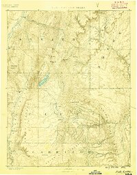
1885 · Fish Lake
USGS Topo · 1:250,000
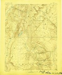
1896 · Fish Lake
USGS Topo · 1:250,000
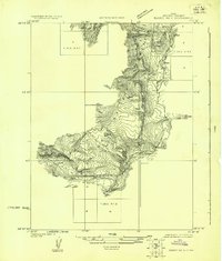
1922 · Emery No.3
USGS Topo · 1:31,680
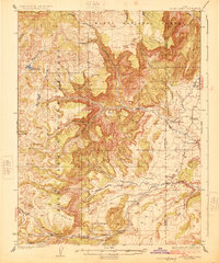
1925 · Acord Lakes
USGS Topo · 1:62,500
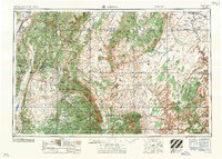
1956 · Salina
USGS Topo · 1:250,000
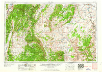
1960 · Salina
USGS Topo · 1:250,000
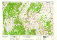
1962 · Salina
USGS Topo · 1:250,000
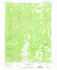
1966 · Water Hollow Ridge
USGS Topo · 1:24,000
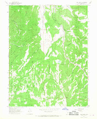
1966 · Yogo Creek
USGS Topo · 1:24,000
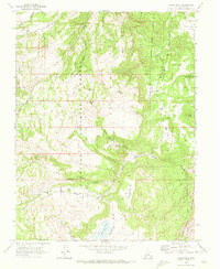
1968 · Johns Peak
USGS Topo · 1:24,000