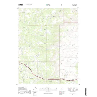
2020 Map of Old Woman Plateau
USGS Topo · Published 2020About this map
Old Woman Plateau dominates this portion of the Fishlake National Forest, where high-elevation terrain meets the complex drainage systems of central Utah. This survey documents the intersection of modern infrastructure and traditional routes, notably around Fremont Junction where Interstate 70 follows the path of Ivie Cr. Historical migration and transport are etched into the landscape through Emigrant Pass and various resource-related labels like Knight Mine Rd and Saleratus Reservoir. The area is characterized by a series of deep canyons and hollows, such as Trough Hollow and Mill Hollow, which reveal the erosional patterns of the Saleratus Benches. Small settlements and seasonal locations like Post Hollow and Tommy Hollow are situated along the southern corridor, providing specific points of reference for local historians and genealogists tracking the development of Sevier County.
Find a feature on this map
45 named features on this map. Tap any name to fly to it.
Don’t see what you’re looking for? This feature index may not catch every label — zoom into the map to look around manually.
Map Details
Editions of this 2020 Old Woman Plateau Map
This is the sole edition of this map. No revisions or reprints were ever made.
Other maps of this area
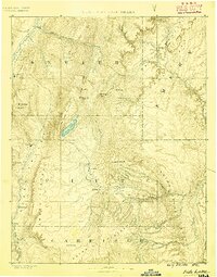
1885 · Fish Lake
USGS Topo · 1:250,000
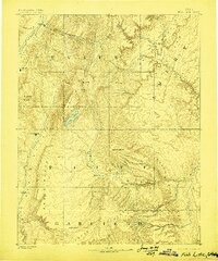
1896 · Fish Lake
USGS Topo · 1:250,000
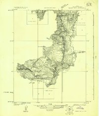
1922 · Emery No.3
USGS Topo · 1:31,680
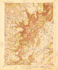
1925 · Acord Lakes
USGS Topo · 1:62,500
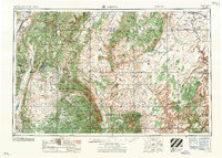
1956 · Salina
USGS Topo · 1:250,000
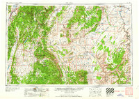
1960 · Salina
USGS Topo · 1:250,000
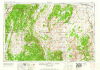
1962 · Salina
USGS Topo · 1:250,000
1966 · Water Hollow Ridge
USGS Topo · 1:24,000
1966 · Yogo Creek
USGS Topo · 1:24,000
1968 · Johns Peak
USGS Topo · 1:24,000