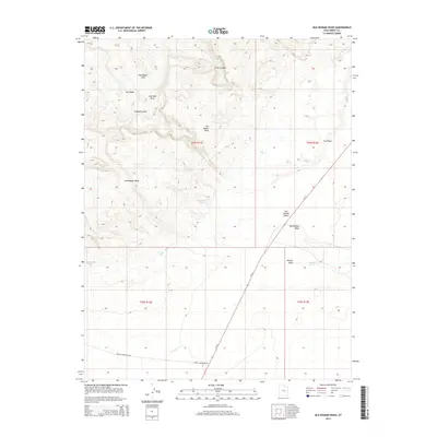
2014 Map of Old Woman Wash
USGS Topo · Published 2014About this map
Sinbad Country and the jagged edge of the San Rafael Reef dominate this desert landscape, where water dictates the geography of survival and travel. The map highlights the drainage systems of Old Woman Wash and Iron Wash as they cut through the uplifted geology of the San Rafael Swell. Essential water sources for ranchers and early travelers are clearly marked, including Mormon Tanks, Swazy Seep, and Farnsworth Tanks, which were historically critical in the arid San Rafael Desert. Transportation is represented by the path of Ut-24 and the gravel track of Temple Mountain Rd, cutting through the high desert toward Ernie Canyon and Lone Man Draw.
Find a feature on this map
20 named features on this map. Tap any name to fly to it.
Don’t see what you’re looking for? This feature index may not catch every label — zoom into the map to look around manually.
Map Details
Editions of this 2014 Old Woman Wash Map
This is the sole edition of this map. No revisions or reprints were ever made.
Other maps of this area

1885 · San Rafael
USGS Topo · 1:250,000
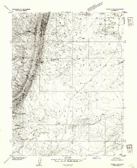
1953 · Tidwell 2 SW
USGS Topo · 1:24,000
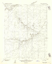
1953 · Tidwell 3 NW
USGS Topo · 1:24,000
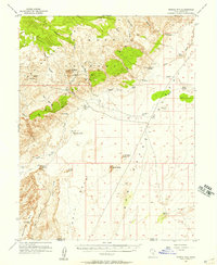
1953 · Temple Mtn
USGS Topo · 1:62,500
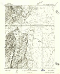
1954 · Stinking Springs Creek 4 SW
USGS Topo · 1:24,000
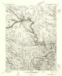
1954 · Stinking Spring Creek 1 SE
USGS Topo · 1:24,000
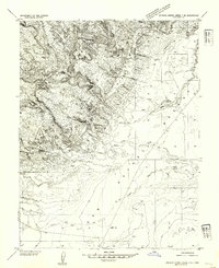
1954 · Stinking Spring Creek 4 NE
USGS Topo · 1:24,000
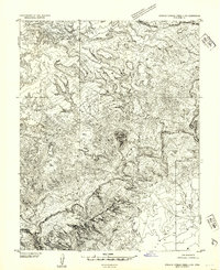
1954 · Stinking Spring Creek 4 NW
USGS Topo · 1:24,000
1954 · Stinking Spring Creek 4 SE
USGS Topo · 1:24,000
1954 · Stinking Spring Creek 1 SW
USGS Topo · 1:24,000