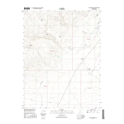
2017 Map of Old Woman Wash
USGS Topo · Published 2017About this map
The San Rafael Reef forms a dramatic uplifted barrier through this section of Emery County, marking the transition from the high San Rafael Swell down to the lower reaches of the San Rafael Desert. The landscape is defined by its seasonal water sources and early ranching infrastructure, such as the Old Temple Wash Ranch and the water-gathering Mormon Tanks. Remote tracks like Temple Mt Rd and Survey Rd traverse this arid region, connecting isolated points like S Ranch Well and Swazy Seep. Geologic features dominate the view, with the winding Old Woman Wash cutting through the terrain alongside Ernie Canyon. This 2017 survey documents the modern state of these traditional desert routes and watering holes, including Temple Spring and Farnsworth Tanks, which have long supported activity in this corner of the Colorado Plateau.
Find a feature on this map
24 named features on this map. Tap any name to fly to it.
Don’t see what you’re looking for? This feature index may not catch every label — zoom into the map to look around manually.
Map Details
Editions of this 2017 Old Woman Wash Map
This is the sole edition of this map. No revisions or reprints were ever made.
Other maps of this area

1885 · San Rafael
USGS Topo · 1:250,000
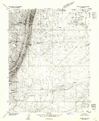
1953 · Tidwell 2 SW
USGS Topo · 1:24,000
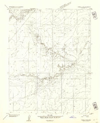
1953 · Tidwell 3 NW
USGS Topo · 1:24,000
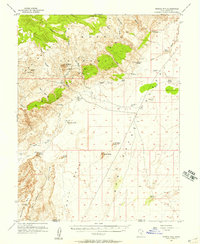
1953 · Temple Mtn
USGS Topo · 1:62,500
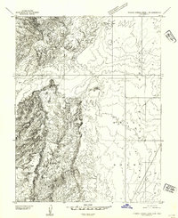
1954 · Stinking Springs Creek 4 SW
USGS Topo · 1:24,000
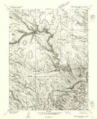
1954 · Stinking Spring Creek 1 SE
USGS Topo · 1:24,000
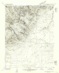
1954 · Stinking Spring Creek 4 NE
USGS Topo · 1:24,000
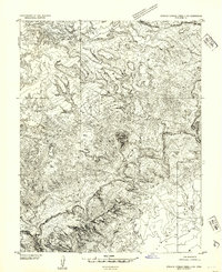
1954 · Stinking Spring Creek 4 NW
USGS Topo · 1:24,000
1954 · Stinking Spring Creek 4 SE
USGS Topo · 1:24,000
1954 · Stinking Spring Creek 1 SW
USGS Topo · 1:24,000