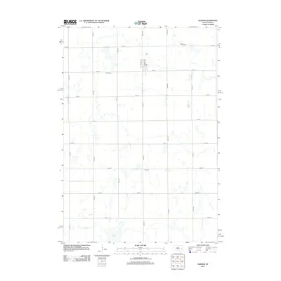
2012 Map of Oldham
USGS Topo · Published 2012About this map
Oldham and the surrounding Kingsbury County plains are defined by a rhythmic grid of section-line roads and numerous seasonal wetlands. This 2012 survey documents a landscape where rural life is anchored by family and community history, evidenced by the distribution of three distinct burial grounds across the township. Oldham Cem sits west of the primary settlement, while Saint Andreas Cem and Toles Cem are positioned in the outlying sections. The hydrology of the area is particularly noteworthy, with Davis Slough dominating the southern reaches and a series of unnamed depressional wetlands scattered between the north-south corridors of 442nd Ave and 447th Ave. This digital-age record captures the precise alignment of the township's infrastructure, from the residential streets of N Leslie Ave to the vast network of numbered county roads that facilitate the region's agricultural economy.
Find a feature on this map
20 named features on this map. Tap any name to fly to it.
Don’t see what you’re looking for? This feature index may not catch every label — zoom into the map to look around manually.
Map Details
Editions of this 2012 Oldham Map
This is the sole edition of this map. No revisions or reprints were ever made.
Other maps of this area

1953 · Watertown
USGS Topo · 1:250,000

1958 · Watertown
USGS Topo · 1:250,000

1968 · Oldham SW
USGS Topo · 1:24,000

1968 · Lake Preston East
USGS Topo · 1:24,000

1968 · Lake Preston West
USGS Topo · 1:24,000

1968 · Oldham NW
USGS Topo · 1:24,000

1968 · Arlington
USGS Topo · 1:24,000

1968 · Ramona
USGS Topo · 1:24,000

1968 · Oldham
USGS Topo · 1:24,000

1968 · Oldham SE
USGS Topo · 1:24,000