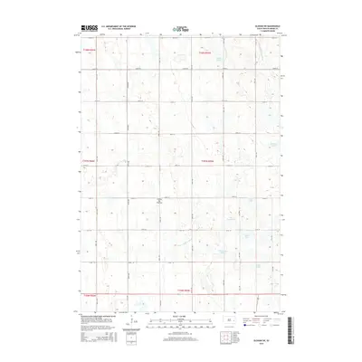
2015 Map of Oldham SW
USGS Topo · Published 2015About this map
Coteau des Prairies defines the rolling, water-dotted character of this Miner County landscape. The terrain is defined by a dense network of glacial wetlands and depressions, ranging from the prominent Silver Lake and Otter Lake to smaller features like The Horseshoe. The drainage pattern is led by the East Fork Vermillion River in the northeast and the Little Vermillion River cutting through the southern sections. This 2015 survey illustrates a rural South Dakota township structured by a rigid section-line road grid, including 437th Ave and 230th St. While primarily agricultural, the abundance of named water bodies such as McCart Slough and Wombacker Slough suggests a landscape where local hydrology dictated the placement of farms and transit routes over generations.
Find a feature on this map
32 named features on this map. Tap any name to fly to it.
Don’t see what you’re looking for? This feature index may not catch every label — zoom into the map to look around manually.
Map Details
Editions of this 2015 Oldham SW Map
This is the sole edition of this map. No revisions or reprints were ever made.
Other maps of this area

1899 · Alexandria
USGS Topo · 1:125,000

1899 · De Smet
USGS Topo · 1:125,000

1953 · Watertown
USGS Topo · 1:250,000

1955 · Sioux Falls
USGS Topo · 1:250,000

1958 · Sioux Falls
USGS Topo · 1:250,000

1958 · Watertown
USGS Topo · 1:250,000

1968 · Oldham SW
USGS Topo · 1:24,000

1968 · Oldham NW
USGS Topo · 1:24,000

1968 · Oldham
USGS Topo · 1:24,000

1968 · Oldham SE
USGS Topo · 1:24,000
Featured Places
- Adams Township, SD
- Belleview Township, SD
- Clearwater Township, SD
- Grafton Township, SD
- Henden Township, SD