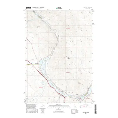
2017 Map of Olds Ferry
USGS Topo · Published 2017About this map
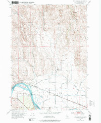
The Snake River carves a critical boundary through this high-desert landscape, where the borders of Oregon and Idaho meet alongside Washington, Baker, and Malheur counties. Historically significant as a crossing point, the area around Farewell Bend and Olds Ferry represents a vital corridor for western migration, today traced by Oregon Trail Blvd. The geography is defined by the transition from the riverbanks and Brownlee Reservoir to the steep elevations of Indian Head Mtn and the Slaughterhouse Range.
Find a feature on this map
38 named features on this map. Tap any name to fly to it.
Don’t see what you’re looking for? This feature index may not catch every label — zoom into the map to look around manually.
Map Details
Editions of this 2017 Olds Ferry Map
This is the sole edition of this map. No revisions or reprints were ever made.
Other maps of this area
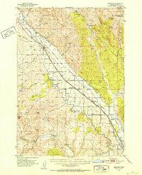
1950 · Jamieson
USGS Topo · 1:62,500
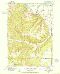
1951 · Moores Hollow
USGS Topo · 1:24,000
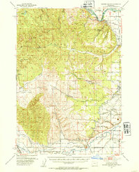
1951 · Moores Hollow
USGS Topo · 1:62,500
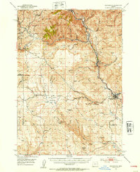
1951 · Huntington
USGS Topo · 1:62,500
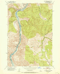
1952 · Olds Ferry NW
USGS Topo · 1:24,000
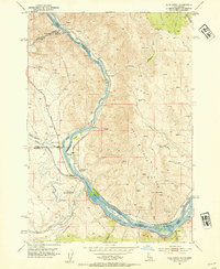
1952 · Olds Ferry
USGS Topo · 1:24,000
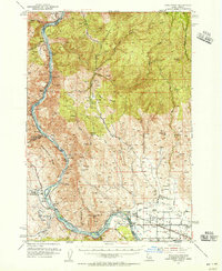
1952 · Olds Ferry
USGS Topo · 1:62,500
1952 · Olds Ferry SE
USGS Topo · 1:24,000

1955 · Baker
USGS Topo · 1:250,000

1959 · Baker
USGS Topo · 1:250,000