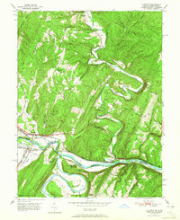
1950 Map of Oldtown
USGS Topo · Published 1965About this map
Potomac River meanders define the border between Maryland and West Virginia in this 1950s era survey, where the historic Chesapeake and Ohio Canal parallels the riverbank near Oldtown. This landscape is a corridor of early American transport, showing the Baltimore and Ohio RR and Western Maryland railroad lines navigating the tight bends of the river valley. The map documents the industrial and social infrastructure of the mid-century, from the Mill at Oldtown to small upland settlements like Gerlock and Pumpkin Center.
Find a feature on this map
43 named features on this map. Tap any name to fly to it.
Don’t see what you’re looking for? This feature index may not catch every label — zoom into the map to look around manually.
Map Details
Editions of this 1950 Oldtown Map
2 editions found
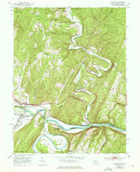
Other maps of this area

1891 · Romney
USGS Topo · 1:125,000

1894 · Winchester
USGS Topo · 1:125,000

1898 · Paw Paw
USGS Topo · 1:62,500

1899 · Flintstone
USGS Topo · 1:62,500

1900 · Pawpaw
USGS Topo · 1:62,500

1900 · Flintstone
USGS Topo · 1:62,500

1910 · Paw Paw
USGS Topo · 1:62,500

1916 · Capon Bridge
USGS Topo · 1:62,500

1921 · Hanging Rock
USGS Topo · 1:48,000

1923 · Capon Bridge
USGS Topo · 1:62,500