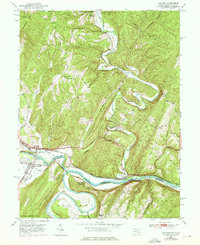
1950 Map of Oldtown
USGS Topo · Published 1976About this map
The confluence of the North Branch Potomac River and South Branch Potomac River defines this riverine landscape at the border of Maryland and West Virginia. Historically significant transportation corridors dominate the valley floors, where the Chesapeake and Ohio Canal parallels the river bends near Oldtown. The area’s mid-century character is shaped by heavy rail infrastructure, including the Baltimore and Ohio Railroad and the Western Maryland Railway, which served local hubs like Green Spring and Okonoko. Steep ridgelines such as Warrior Mtn and Green Ridge separate these industrial and transit arteries from isolated upland communities. The map captures small rural points of interest like Pumpkin Center and Gerlock, along with local landmarks such as Mount Olive Church and the curiously named Fifty-Four Cem on the eastern edge of the quadrangle.
Find a feature on this map
54 named features on this map. Tap any name to fly to it.
Don’t see what you’re looking for? This feature index may not catch every label — zoom into the map to look around manually.
Map Details
Editions of this 1950 Oldtown Map
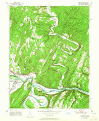
2 editions found
Other maps of this area

1891 · Romney
USGS Topo · 1:125,000

1894 · Winchester
USGS Topo · 1:125,000

1898 · Paw Paw
USGS Topo · 1:62,500

1899 · Flintstone
USGS Topo · 1:62,500

1900 · Pawpaw
USGS Topo · 1:62,500

1900 · Flintstone
USGS Topo · 1:62,500

1910 · Paw Paw
USGS Topo · 1:62,500

1916 · Capon Bridge
USGS Topo · 1:62,500

1921 · Hanging Rock
USGS Topo · 1:48,000

1923 · Capon Bridge
USGS Topo · 1:62,500