
1938 Map of Olean
USGS Topo · Published 1955About this map
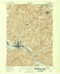
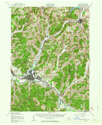
The Allegheny River and Olean Creek form the industrial and geographic spine of this region during the late 1930s. The city of Olean sits at a major transit junction, where the Pennsylvania and Erie railroads intersect, supported by a network of local energy infrastructure including clusters of Oil Tanks and the Olean Airport. To the north, the Oil Spring Indian Reservation and Cuba Lake mark the landscape, while numerous smaller settlements like Westons Mills, Hinsdale, and Portville follow the river valleys. The topography is defined by significant elevations such as Tynhanda Mountain and geological landmarks like Flatiron Rock and Rock City, illustrating the transition from the river bottomlands to the high ridges of the New York-Pennsylvania borderlands.
Find a feature on this map
68 named features on this map. Tap any name to fly to it.
Don’t see what you’re looking for? This feature index may not catch every label — zoom into the map to look around manually.
Map Details
Editions of this 1938 Olean Map
Other maps of this area

1898 · Olean
USGS Topo · 1:62,500

1900 · Salamanca
USGS Topo · 1:62,500

1906 · Angelica
USGS Topo · 1:62,500

1924 · Ellicottville
USGS Topo · 1:62,500

1924 · Bradford
USGS Topo · 1:62,500

1924 · Franklinville
USGS Topo · 1:62,500

1925 · Belmont
USGS Topo · 1:62,500

1926 · Bradford
USGS Topo · 1:62,500

1933 · Smethport
USGS Topo · 1:62,500

1934 · Coudersport
USGS Topo · 1:48,000