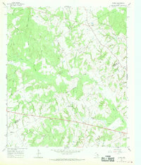
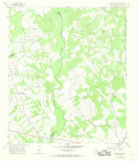
1966 Map of Oletha
USGS Topo · Published 1970About this map
Steele Creek and its numerous tributaries, including Willow Creek and Heads Creek, dominate this central Texas landscape on the border of Limestone and Robertson Counties. The area is characterized by a high density of small family and community cemeteries, such as Ferguson Cem, Head Cem, Ebenezer Cem, and Pace Cem, which serve as vital markers for genealogical research in this rural region.
Find a feature on this map
28 named features on this map. Tap any name to fly to it.
Don’t see what you’re looking for? This feature index may not catch every label — zoom into the map to look around manually.
Map Details
Editions of this 1966 Oletha Map
2 editions found
Other maps of this area

1925 · Marquez No. 1
USGS Topo · 1:48,000

1927 · Marquez
USGS Topo · 1:62,500

1930 · Marquez
USGS Topo · 1:62,500

1954 · Waco
USGS Topo · 1:250,000

1955 · Waco
USGS Topo · 1:250,000

1962 · Petteway
USGS Topo · 1:24,000
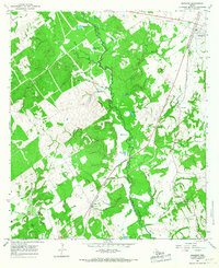
1965 · Marquez
USGS Topo · 1:24,000
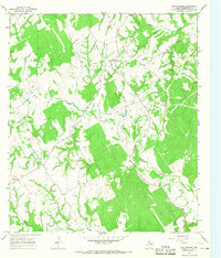
1965 · Bald Prairie
USGS Topo · 1:24,000
1966 · Round Prairie
USGS Topo · 1:24,000

1966 · Thornton
USGS Topo · 1:24,000