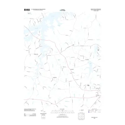
2013 Map of Olive Hill
USGS Topo · Published 2013About this map
Hyco Lake and the C P and L Ash Pond dominate the northern landscape of this Person County region, where industrial infrastructure meets rural crossroads. The settlement pattern is defined by historic community centers such as Olive Hill and Longs Store, linked by a network of farm roads and county routes. The terrain is deeply etched by a complex drainage system including Richland Cr and Storys Cr, which feed into local reservoirs like Roxboro Lake and Chub Lake. Residential developments near Lake View and Williamsville show the modern expansion of the Roxboro periphery. This map captures the intersection of traditional Piedmont tobacco farming country with late-twentieth-century water management and power generation projects, providing a clear view of how land use evolved in north-central North Carolina.
Find a feature on this map
141 named features on this map. Tap any name to fly to it.
Don’t see what you’re looking for? This feature index may not catch every label — zoom into the map to look around manually.
Map Details
Editions of this 2013 Olive Hill Map
This is the sole edition of this map. No revisions or reprints were ever made.
Other maps of this area

1943 · Roxboro
USGS Topo · 1:62,500

1952 · Milton
USGS Topo · 1:62,500

1953 · South Boston
USGS Topo · 1:62,500

1953 · Greensboro
USGS Topo · 1:250,000

1954 · Greensboro
USGS Topo · 1:250,000

1956 · Milton
USGS Topo · 1:62,500

1957 · South Boston
USGS Topo · 1:62,500

1962 · Greensboro
USGS Topo · 1:250,000

1966 · Greensboro
USGS Topo · 1:250,000

1968 · Leasburg
USGS Topo · 1:24,000