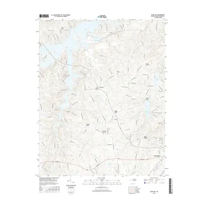
2016 Map of Olive Hill
USGS Topo · Published 2016About this map
Hyco Lake dominates the northern landscape of this Person County quadrangle, where the rolling hills of the Piedmont meet a complex network of reservoirs and creeks. Small rural communities like Ceffo, Olive Hill, and Five Forks anchor the countryside, reflecting a settlement pattern built around agricultural crossroads and local commerce. The map is particularly detailed in its coverage of religious and family history, noting numerous community landmarks such as Lamberth Memorial Baptist Church Cem and Oak Grove Methodist Church.
Find a feature on this map
140 named features on this map. Tap any name to fly to it.
Don’t see what you’re looking for? This feature index may not catch every label — zoom into the map to look around manually.
Map Details
Editions of this 2016 Olive Hill Map
This is the sole edition of this map. No revisions or reprints were ever made.
Other maps of this area
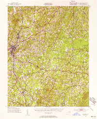
1943 · Roxboro
USGS Topo · 1:62,500
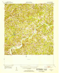
1952 · Milton
USGS Topo · 1:62,500
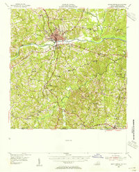
1953 · South Boston
USGS Topo · 1:62,500

1953 · Greensboro
USGS Topo · 1:250,000

1954 · Greensboro
USGS Topo · 1:250,000
1956 · Milton
USGS Topo · 1:62,500
1957 · South Boston
USGS Topo · 1:62,500

1962 · Greensboro
USGS Topo · 1:250,000

1966 · Greensboro
USGS Topo · 1:250,000
1968 · Leasburg
USGS Topo · 1:24,000