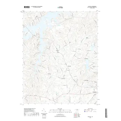
2019 Map of Olive Hill
USGS Topo · Published 2019About this map
Hyco Lake dominates the northwest corner of this Person County landscape, where the waters of Sargents Cr and Cane Cr meet the impoundment. The area reflects a deeply rooted rural community structure, characterized by scattered hamlets and historic church centers such as Ceffo, Concord, and Five Forks. The southern edge of the survey transitions into the outskirts of Roxboro, while the central region is defined by quiet intersections like Longs Store. Numerous family-oriented and community landmarks are documented throughout, including the Zion Level Baptist Church Cem and Lamberth Memorial Baptist Church Cem. The terrain is interlaced with a dense network of local roads such as Longs Store RD and Mill Hill RD, providing a detailed look at the modern land use and residential patterns surrounding Roxboro Lake and Chub Lake in the east.
Find a feature on this map
139 named features on this map. Tap any name to fly to it.
Don’t see what you’re looking for? This feature index may not catch every label — zoom into the map to look around manually.
Map Details
Editions of this 2019 Olive Hill Map
This is the sole edition of this map. No revisions or reprints were ever made.
Other maps of this area

1943 · Roxboro
USGS Topo · 1:62,500

1952 · Milton
USGS Topo · 1:62,500

1953 · South Boston
USGS Topo · 1:62,500

1953 · Greensboro
USGS Topo · 1:250,000

1954 · Greensboro
USGS Topo · 1:250,000

1956 · Milton
USGS Topo · 1:62,500

1957 · South Boston
USGS Topo · 1:62,500

1962 · Greensboro
USGS Topo · 1:250,000

1966 · Greensboro
USGS Topo · 1:250,000

1968 · Leasburg
USGS Topo · 1:24,000