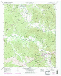
1949 Map of Olivehill
USGS Topo · Published 1973About this map
Hardin Creek and Indian Creek define the rugged topography of this West Tennessee landscape, where the waters flow toward the sprawling Kentucky Lake in the northwest. The settlement of Olivehill serves as a primary local hub, anchored by the Olivehill Church and situated near the distinctive Arch Bridge. This postwar survey reveals a network of rural life tied to the river valley, where river crossings like Porter Ford and Garrard Ford remained critical for local transit. The map is particularly rich for genealogical research, documenting numerous family-named landmarks and resting places, such as Watson Cemetery, Patterson Cemetery, and Bailey Cemetery. Distinctive geological features like Buzzard Cave and Dickson Bluff overlook the winding creeks, while high points like Pine Knob and Blackshire Ridge offer a view of the wooded hollows that dominate the Hardin and Wayne County border.
Find a feature on this map
125 named features on this map. Tap any name to fly to it.
Don’t see what you’re looking for? This feature index may not catch every label — zoom into the map to look around manually.
Map Details
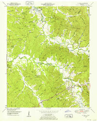
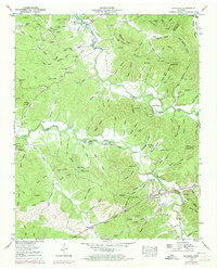
Editions of this 1949 Olivehill Map
3 editions found
Other maps of this area

1905 · Waynesboro
USGS Topo · 1:125,000

1936 · Savannah
USGS Topo · 1:24,000

1936 · Wolf Pit Ridge
USGS Topo · 1:24,000

1936 · Hookers Bend
USGS Topo · 1:24,000

1936 · Eagle Creek
USGS Topo · 1:24,000

1936 · Thurman
USGS Topo · 1:24,000

1936 · Olivehill
USGS Topo · 1:24,000

1936 · Bath Springs
USGS Topo · 1:24,000

1936 · Clifton
USGS Topo · 1:24,000

1936 · Martins Mills
USGS Topo · 1:24,000