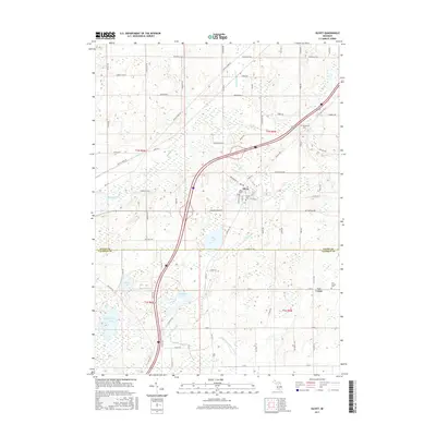
2017 Map of Olivet
USGS Topo · Published 2017About this map
The town of Olivet and its eponymous Olivet Coll define the landscape of southern Eaton County in this contemporary survey. Situated near the intersection of Butterfield Hwy and Old US Hwy 27, the community serves as a local hub amidst a sprawling network of agricultural roads and glacial water bodies. The terrain is marked by significant drainages such as Battle Creek and the Dillon Relaid Drain, which shape the surrounding farmland. To the south, the boundary between Eaton Co and Calhoun Co is clearly delineated, leading into the smaller settlement of Lee Center. This area is rich with localized genealogy markers, including Bosworth Cem, Olivet Cem, and Lee Center Cem. A cluster of lakes, most notably Pine Lake, Ackley Lake, and Big Marsh Lake, highlights the complex hydrology that influenced original land division and settlement patterns in this part of Michigan.
Find a feature on this map
86 named features on this map. Tap any name to fly to it.
Don’t see what you’re looking for? This feature index may not catch every label — zoom into the map to look around manually.
Map Details
Editions of this 2017 Olivet Map
This is the sole edition of this map. No revisions or reprints were ever made.
Other maps of this area
1918 · Battle Creek
USGS Topo · 1:62,500
1921 · Marshall
USGS Topo · 1:62,500
1923 · Marshall
USGS Topo · 1:62,500
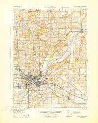
1943 · Battle Creek
USGS Topo · 1:62,500
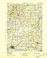
1943 · Marshall
USGS Topo · 1:62,500
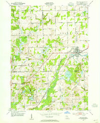
1947 · Bellevue
USGS Topo · 1:24,000
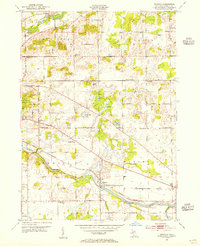
1947 · Ceresco
USGS Topo · 1:24,000
1949 · Charlotte
USGS Topo · 1:62,500
1950 · Battle Creek
USGS Topo · 1:62,500
1950 · Nashville
USGS Topo · 1:62,500