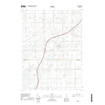
2019 Map of Olivet
USGS Topo · Published 2019About this map
Olivet serves as the central hub of this Eaton County landscape, where the local street grid intersects at College St and the community Po. The terrain is defined by a dense network of glacial lakes and managed waterways, including Pine Lake, Garfield Lake, and the winding Indian Cr. To the south, the boundary between Eaton Co and Calhoun Co runs along the section line, marking the transition toward the smaller settlement of Lee Center.
Find a feature on this map
88 named features on this map. Tap any name to fly to it.
Don’t see what you’re looking for? This feature index may not catch every label — zoom into the map to look around manually.
Map Details
Editions of this 2019 Olivet Map
This is the sole edition of this map. No revisions or reprints were ever made.
Other maps of this area

1918 · Battle Creek
USGS Topo · 1:62,500

1921 · Marshall
USGS Topo · 1:62,500

1923 · Marshall
USGS Topo · 1:62,500

1943 · Battle Creek
USGS Topo · 1:62,500

1943 · Marshall
USGS Topo · 1:62,500

1947 · Bellevue
USGS Topo · 1:24,000

1947 · Ceresco
USGS Topo · 1:24,000

1949 · Charlotte
USGS Topo · 1:62,500

1950 · Battle Creek
USGS Topo · 1:62,500

1950 · Nashville
USGS Topo · 1:62,500