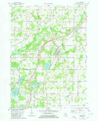
1980 Map of Olivet
USGS Topo · Published 1980About this map
Olivet College serves as the focal point of the town of Olivet, where the local landscape is defined by the winding course of Battle Creek and the steel rails of the Grand Trunk Western railroad. In the early 1980s, this area on the border of Eaton and Calhoun counties remained primarily agricultural, yet marked by industrial extraction such as the Oil Field in Lee and numerous gravel pits.
Find a feature on this map
39 named features on this map. Tap any name to fly to it.
Don’t see what you’re looking for? This feature index may not catch every label — zoom into the map to look around manually.
Map Details
Editions of this 1980 Olivet Map
This is the sole edition of this map. No revisions or reprints were ever made.
Other maps of this area

1918 · Battle Creek
USGS Topo · 1:62,500

1921 · Marshall
USGS Topo · 1:62,500

1923 · Marshall
USGS Topo · 1:62,500

1943 · Battle Creek
USGS Topo · 1:62,500

1943 · Marshall
USGS Topo · 1:62,500

1947 · Bellevue
USGS Topo · 1:24,000

1947 · Ceresco
USGS Topo · 1:24,000

1949 · Charlotte
USGS Topo · 1:62,500

1950 · Battle Creek
USGS Topo · 1:62,500

1950 · Nashville
USGS Topo · 1:62,500