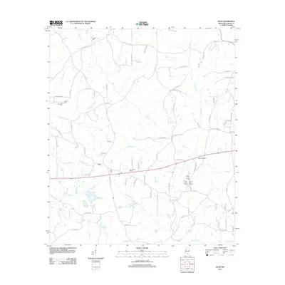
2012 Map of Oloh
USGS Topo · Published 2012About this map
Oloh sits at a crossroads in Lamar County, Mississippi, serving as the primary hub in a landscape defined by an intricate network of waterways and timber-access roads. The community is well-represented for genealogical research, anchored by the Oloh Cem and several family-named burial grounds like Russell Cem, Slade Cem, and Buchanan Cem. Notably, three distinct locations of the Midway Cem Number One (along with numbers Two and Three) are clustered southeast of the main settlement. The terrain is deeply incised by creeks including Black Cr and Buckhalter Mill Cr, reflecting a history of local milling. Structural landmarks like the Oloh Lookout Tower and the Bob Lott Bridge provide specific points of reference for tracing the modern development of this rural corner of the state.
Find a feature on this map
90 named features on this map. Tap any name to fly to it.
Don’t see what you’re looking for? This feature index may not catch every label — zoom into the map to look around manually.
Map Details
Editions of this 2012 Oloh Map
This is the sole edition of this map. No revisions or reprints were ever made.
Other maps of this area

1953 · Hattiesburg
USGS Topo · 1:250,000

1958 · Hattiesburg
USGS Topo · 1:250,000

1964 · Purvis
USGS Topo · 1:24,000

1965 · Hattiesburg SW
USGS Topo · 1:24,000

1965 · Sanford
USGS Topo · 1:24,000

1969 · Baxterville NE
USGS Topo · 1:24,000

1969 · Pinebur
USGS Topo · 1:24,000

1974 · Sumrall
USGS Topo · 1:24,000

1974 · Oloh
USGS Topo · 1:24,000

1974 · Bassfield
USGS Topo · 1:24,000