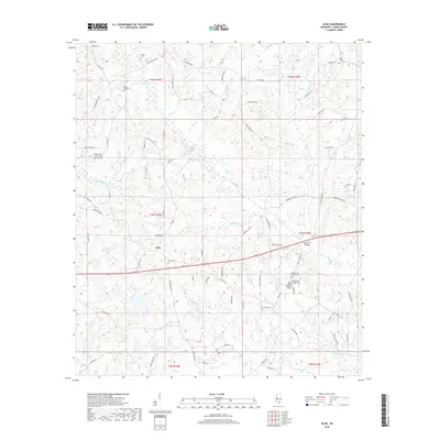
2018 Map of Oloh
USGS Topo · Published 2018About this map
Oloh serves as the central hub of this Lamar County landscape, where the local economy and social history are anchored by a network of rural roads and family heritage sites. The terrain is defined by the drainage systems of Black Cr and Little Black Cr, which are fed by numerous smaller tributaries like Buckhalter Mill Cr and Hartfield Mill Cr. This 2018 survey reveals a high density of burial grounds, including the three-part Midway Cem complex and smaller family plots such as the Martin Lott Cem and Russell Cem. Modern infrastructure is represented by the Bob Lott Bridge, yet the road network, featuring names like Old Salt Rd and Oloh Rd, speaks to the long-standing transportation patterns of this part of southern Mississippi.
Find a feature on this map
83 named features on this map. Tap any name to fly to it.
Don’t see what you’re looking for? This feature index may not catch every label — zoom into the map to look around manually.
Map Details
Editions of this 2018 Oloh Map
This is the sole edition of this map. No revisions or reprints were ever made.
Other maps of this area
1953 · Hattiesburg
USGS Topo · 1:250,000
1958 · Hattiesburg
USGS Topo · 1:250,000
1964 · Purvis
USGS Topo · 1:24,000
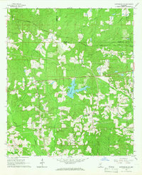
1965 · Hattiesburg SW
USGS Topo · 1:24,000
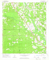
1965 · Sanford
USGS Topo · 1:24,000
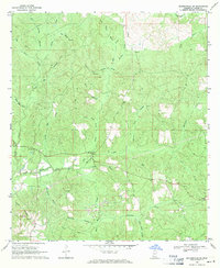
1969 · Baxterville NE
USGS Topo · 1:24,000
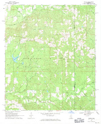
1969 · Pinebur
USGS Topo · 1:24,000
1974 · Sumrall
USGS Topo · 1:24,000
1974 · Oloh
USGS Topo · 1:24,000
1974 · Bassfield
USGS Topo · 1:24,000