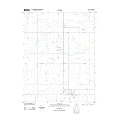
2012 Map of Olpe
USGS Topo · Published 2012About this map
The town of Olpe anchors the southern portion of this Lyon County landscape, where the prairie is defined by a rigorous grid of section roads and the winding paths of local waterways. Settled just south of the Emporia Municipal Airport, the community is surrounded by local history landmarks, including Saint Joseph Cem and Pleasant Ridge Cem. The geography is shaped by the drainage patterns of Eagle Cr, Coal Cr, and Dry Cr, all of which eventually feed toward the Cottonwood River visible in the northeast corner. This 2012 survey illustrates the intersection of rural agriculture and municipal utility, featuring the Olpe City Lake and the Emporia Municipal Golf Course. For those studying local land use or family history, the map provides precise locations for smaller landmarks like Mary's Place Airport and several historic burial grounds such as Greenwood Cem and Evergreen Cem north of the main settlement.
Find a feature on this map
46 named features on this map. Tap any name to fly to it.
Don’t see what you’re looking for? This feature index may not catch every label — zoom into the map to look around manually.
Map Details
Editions of this 2012 Olpe Map
This is the sole edition of this map. No revisions or reprints were ever made.
Other maps of this area
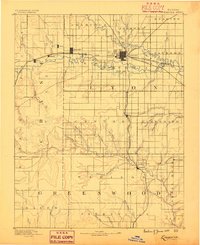
1888 · Emporia
USGS Topo · 1:125,000
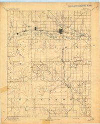
1894 · Emporia
USGS Topo · 1:125,000
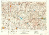
1955 · Hutchinson
USGS Topo · 1:250,000
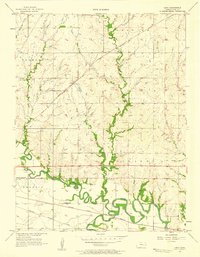
1957 · Lang
USGS Topo · 1:24,000
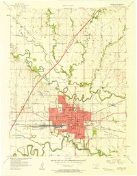
1957 · Emporia
USGS Topo · 1:24,000
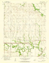
1957 · Plymouth
USGS Topo · 1:24,000
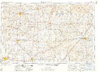
1959 · Hutchinson
USGS Topo · 1:250,000
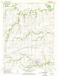
1973 · Olpe
USGS Topo · 1:24,000
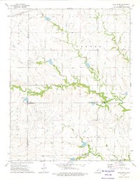
1973 · Shaw Creek
USGS Topo · 1:24,000
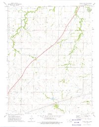
1973 · Phenis Creek
USGS Topo · 1:24,000