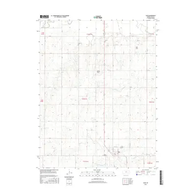
2015 Map of Olpe
USGS Topo · Published 2015About this map
Olpe sits as the primary settlement in this portion of Lyon County, defined by a grid of rural roads and the drainage basins of several prairie waterways. The landscape is characterized by its agricultural layout, where the waters of Eagle Cr and Coal Cr wind through the township lines. Genealogists will find significant value in the distribution of local burial grounds, including Saint Joseph Cem near the town center, and the more isolated Greenwood Cem, Evergreen Cem, and Pleasant Ridge Cem. Aviation history is represented by the presence of both the Emporia Municipal Airport and the smaller Mary's Place Airport to the northeast. To the south, Olpe City Lake serves as a local landmark, while the northern boundary is marked by the meandering path of the Cottonwood River near its confluence with Dry Cr.
Find a feature on this map
36 named features on this map. Tap any name to fly to it.
Don’t see what you’re looking for? This feature index may not catch every label — zoom into the map to look around manually.
Map Details
Editions of this 2015 Olpe Map
This is the sole edition of this map. No revisions or reprints were ever made.
Other maps of this area
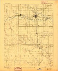
1888 · Emporia
USGS Topo · 1:125,000
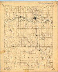
1894 · Emporia
USGS Topo · 1:125,000
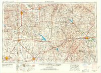
1955 · Hutchinson
USGS Topo · 1:250,000
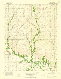
1957 · Lang
USGS Topo · 1:24,000
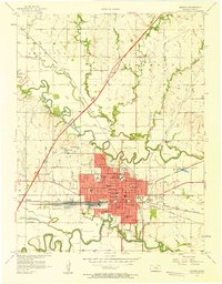
1957 · Emporia
USGS Topo · 1:24,000
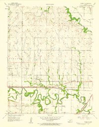
1957 · Plymouth
USGS Topo · 1:24,000
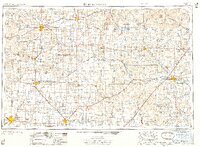
1959 · Hutchinson
USGS Topo · 1:250,000
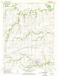
1973 · Olpe
USGS Topo · 1:24,000
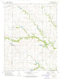
1973 · Shaw Creek
USGS Topo · 1:24,000
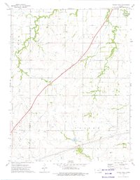
1973 · Phenis Creek
USGS Topo · 1:24,000