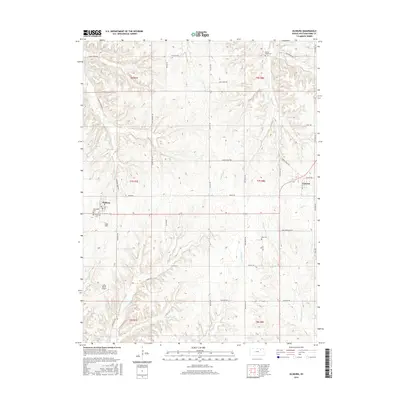
2015 Map of Olsburg
USGS Topo · Published 2015About this map
The agrarian communities of Olsburg and Fostoria anchor this portion of Pottawatomie County, illustrating a landscape defined by deeply incised creek valleys and upland ridges. The network of drainage, including the winding Shannon Cr and Carnahan Cr, dictates the placement of rural roads and homesteads. This map provides critical data for genealogists through its preservation of local burial grounds, such as Mariadahl Cem and Oostburg Cem near the western edge, and King Cem further east. A distinct lack of heavy industry is evident, with the Laflin Ranch Airport serving as a notable modern landmark among the traditional section-line roads like Swede Rd and Richland Rd. The topography reveals the complex watershed of the Kansas river hills, where minor tributaries like Bucksnort Cr and Lazy Cr carve through the limestone-underlain prairie.
Find a feature on this map
49 named features on this map. Tap any name to fly to it.
Don’t see what you’re looking for? This feature index may not catch every label — zoom into the map to look around manually.
Map Details
Editions of this 2015 Olsburg Map
This is the sole edition of this map. No revisions or reprints were ever made.
Other maps of this area
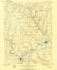
1886 · Junction City
USGS Topo · 1:125,000
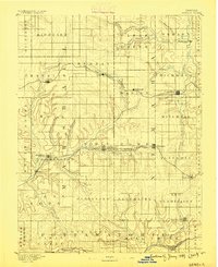
1889 · Seneca
USGS Topo · 1:125,000
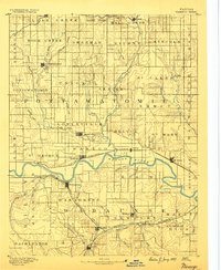
1889 · Wamego
USGS Topo · 1:125,000
1889 · Marysville
USGS Topo · 1:125,000
1889 · Junction City
USGS Topo · 1:125,000
1894 · Junction City
USGS Topo · 1:125,000
1894 · Seneca
USGS Topo · 1:125,000
1894 · Marysville
USGS Topo · 1:125,000
1894 · Wamego
USGS Topo · 1:125,000

1955 · Manhattan
USGS Topo · 1:250,000