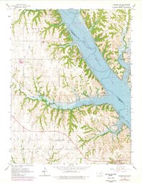
1964 Map of Olsburg SW
USGS Topo · Published 1978About this map
Tuttle Creek Lake dominates this mid-1960s landscape, where the waters of the Big Blue River meet a complex network of creeks including Mill Creek, Tuttle Creek, and Carnahan Creek. The map reflects a region shaped by both water management and rural community life, evidenced by the clustered recreation areas and the persistence of local landmarks. In the northern reaches, the Garrison Recreation Area and Carnahan Creek Recreation Area offer insight into the mid-century development of the reservoir’s shoreline for public use.
Find a feature on this map
29 named features on this map. Tap any name to fly to it.
Don’t see what you’re looking for? This feature index may not catch every label — zoom into the map to look around manually.
Map Details
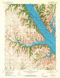
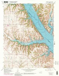
Editions of this 1964 Olsburg SW Map
3 editions found
Other maps of this area

1886 · Junction City
USGS Topo · 1:125,000

1889 · Junction City
USGS Topo · 1:125,000

1894 · Junction City
USGS Topo · 1:125,000

1947 · Manhattan
USGS Topo · 1:62,500

1947 · Fort Riley
USGS Topo · 1:62,500

1950 · Keats
USGS Topo · 1:24,000

1950 · Manhattan
USGS Topo · 1:24,000

1951 · Wind Creek
USGS Topo · 1:24,000

1955 · Fort Riley NE
USGS Topo · 1:24,000
1955 · Manhattan
USGS Topo · 1:24,000