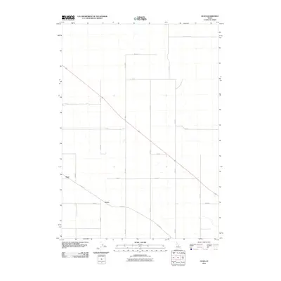
2010 Map of Olsen
USGS Topo · Published 2010About this map
The agricultural landscape of Olsen and Havens is defined by a rigid grid of rural roads and section lines in this 2010 Idaho survey. Situated in Bingham County, the area showcases a highly organized land management pattern typical of the Snake River Plain, where the intersection of W Taber Rd and N 1500 W serves as a local navigational hub. The map illustrates how transportation routes like Baldy Knoll Loop and Willow Rd accommodate the needs of scattered homesteads and farming operations. This documentation of the early 21st-century rural infrastructure captures the relationship between the built environment and the flat terrain, highlighting the sparse but vital settlement points of the region.
Find a feature on this map
17 named features on this map. Tap any name to fly to it.
Don’t see what you’re looking for? This feature index may not catch every label — zoom into the map to look around manually.
Map Details
Editions of this 2010 Olsen Map
This is the sole edition of this map. No revisions or reprints were ever made.
Other maps of this area

1940 · Blackfoot
USGS Topo · 1:62,500

1943 · Blackfoot
USGS Topo · 1:62,500

1955 · Springfield NW
USGS Topo · 1:24,000

1955 · Baldy Knoll
USGS Topo · 1:24,000

1955 · Rockford
USGS Topo · 1:24,000

1955 · Idaho Falls
USGS Topo · 1:250,000

1958 · Idaho Falls
USGS Topo · 1:250,000
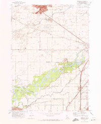
1971 · Moreland
USGS Topo · 1:24,000

1973 · Olsen
USGS Topo · 1:24,000

1973 · Middle Butte
USGS Topo · 1:24,000