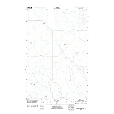
2011 Map of Olson Coulee North
USGS Topo · Published 2011About this map
Arnett Cemetery stands as a quiet genealogical marker in this corner of Dawson County, reflecting the sparse settlement patterns characteristic of the eastern Montana plains. The landscape is defined by the drainage systems of Corral Creek, Brush Creek, and Sioux Creek, which carve through the terrain and converge near the prominent landform of Olson Coulee. An intricate network of local water management is evident through several named infrastructure points, including Jensen Reservoir Dam, Jensen Number 2 Dam, and Jonas Number 2 Dam. These features, alongside Road 422 and Road 424, illustrate the intersection of ranching life and geography in a region where water control and road access are vital to the local economy.
Find a feature on this map
13 named features on this map. Tap any name to fly to it.
Don’t see what you’re looking for? This feature index may not catch every label — zoom into the map to look around manually.
Map Details
Editions of this 2011 Olson Coulee North Map
This is the sole edition of this map. No revisions or reprints were ever made.
Other maps of this area

1954 · Glendive
USGS Topo · 1:250,000

1957 · Glendive
USGS Topo · 1:250,000

1958 · Glendive
USGS Topo · 1:250,000
1982 · Circle
USGS Topo · 1:100,000
1983 · Johnson Reservoir NW
USGS Topo · 1:24,000
1983 · Woodworth Hill
USGS Topo · 1:24,000
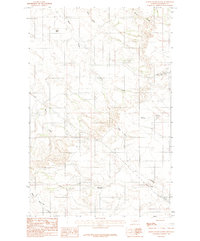
1983 · Olson Coulee South
USGS Topo · 1:24,000
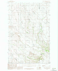
1983 · Mount Antelope
USGS Topo · 1:24,000
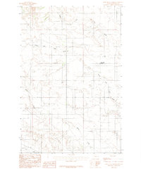
1983 · Deer Creek Church
USGS Topo · 1:24,000
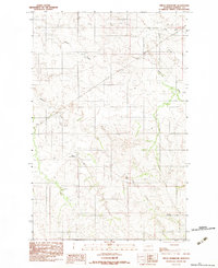
1983 · Circle Reservoir
USGS Topo · 1:24,000