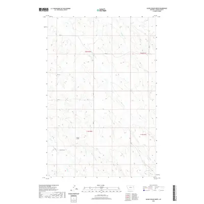
2020 Map of Olson Coulee North
USGS Topo · Published 2020About this map
Arnett Cem sits on a high point between the drainages of the northern high plains, serving as a solitary landmark in this Dawson County landscape. The terrain is defined by complex erosional patterns, most notably the deep incisions of Olson Coulee and Stilson Coulee that cut through the undulating prairie. These features, along with waterways like Sioux Cr and Corral Cr, dictate the movement and settlement patterns of this cattle-ranching country. The map reflects a modern organization of the land, where section lines and rural routes like RD 422 and RD 405 provide the primary infrastructure through the vast townships of t20n r50e and t19n r50e. This survey captures the sparse, utilitarian nature of the Montana badlands, where life and geography are inextricably linked to the seasonal flow of the creeks and the steady maintenance of the county's gravel road network.
Find a feature on this map
14 named features on this map. Tap any name to fly to it.
Don’t see what you’re looking for? This feature index may not catch every label — zoom into the map to look around manually.
Map Details
Editions of this 2020 Olson Coulee North Map
This is the sole edition of this map. No revisions or reprints were ever made.
Other maps of this area

1954 · Glendive
USGS Topo · 1:250,000

1957 · Glendive
USGS Topo · 1:250,000

1958 · Glendive
USGS Topo · 1:250,000

1982 · Circle
USGS Topo · 1:100,000

1983 · Johnson Reservoir NW
USGS Topo · 1:24,000

1983 · Woodworth Hill
USGS Topo · 1:24,000

1983 · Olson Coulee South
USGS Topo · 1:24,000

1983 · Mount Antelope
USGS Topo · 1:24,000

1983 · Deer Creek Church
USGS Topo · 1:24,000

1983 · Circle Reservoir
USGS Topo · 1:24,000