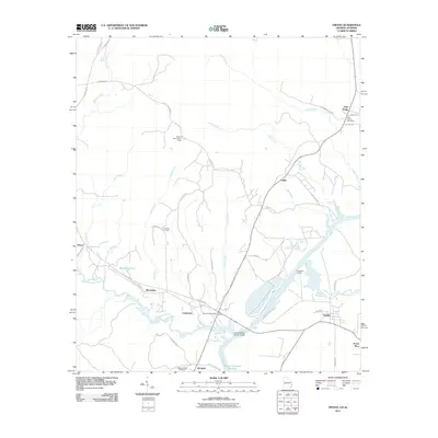
2011 Map of Omaha
USGS Topo · Published 2011About this map
Holy Trinity and Cottonton anchor the landscape along the Alabama-Georgia border, where the Chattahoochee River widens into the Walter F George Reservoir. The 2011 survey reveals a territory defined by agricultural tradition and river-based industry, featuring localized settlements such as Omaha and Jernigan near the riverbanks. For those studying local lineage, the presence of the Thomas Cemetery, Wesley Chapel Cemetery, and the Wesley Chapel church provide critical geographic anchors. The area is crisscrossed by numerous waterways, including Hatchechubbee Creek and Snake Creek, which historically dictated the placement of landings and crossings. Industrial and public works like the Joseph Wilson Smith Bridge, the Power Place, and the Murrell Hill Lookout Tower illustrate the managed nature of this modern Southern river corridor.
Find a feature on this map
52 named features on this map. Tap any name to fly to it.
Don’t see what you’re looking for? This feature index may not catch every label — zoom into the map to look around manually.
Map Details
Editions of this 2011 Omaha Map
This is the sole edition of this map. No revisions or reprints were ever made.
Other maps of this area

1908 · Columbus
USGS Topo · 1:62,500

1914 · Seale
USGS Topo · 1:62,500

1929 · Columbus
USGS Topo · 1:48,000

1947 · Columbus
USGS Topo · 1:62,500

1949 · Fort Mitchell
USGS Topo · 1:24,000

1949 · Julia
USGS Topo · 1:24,000

1950 · Fort Benning
USGS Topo · 1:24,000

1950 · Seale
USGS Topo · 1:24,000

1950 · Lumpkin SW
USGS Topo · 1:24,000

1950 · Seale
USGS Topo · 1:62,500