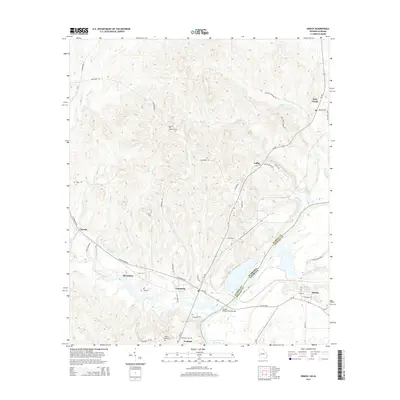
2014 Map of Omaha
USGS Topo · Published 2014About this map
The Walter F George Reservoir forms a broad watery boundary between Russell County, Alabama, and Stewart County, Georgia, in this 2014 survey. Spanning the state line, the Joseph Wilson Smith Bridge connects the rural community of Cottonton to the shoreline of Omaha. The landscape is defined by the convergence of major tributaries, including the slow-moving Hatchechubbee Creek and Hannahatchee Creek, which feed into the reservoir basin. Higher elevations are marked by the Murrell Hill Lookout Tower and a network of fire roads.
Find a feature on this map
60 named features on this map. Tap any name to fly to it.
Don’t see what you’re looking for? This feature index may not catch every label — zoom into the map to look around manually.
Map Details
Editions of this 2014 Omaha Map
This is the sole edition of this map. No revisions or reprints were ever made.
Other maps of this area

1908 · Columbus
USGS Topo · 1:62,500

1914 · Seale
USGS Topo · 1:62,500

1929 · Columbus
USGS Topo · 1:48,000

1947 · Columbus
USGS Topo · 1:62,500

1949 · Fort Mitchell
USGS Topo · 1:24,000

1949 · Julia
USGS Topo · 1:24,000

1950 · Fort Benning
USGS Topo · 1:24,000

1950 · Seale
USGS Topo · 1:24,000

1950 · Lumpkin SW
USGS Topo · 1:24,000

1950 · Seale
USGS Topo · 1:62,500