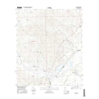
2017 Map of Omaha
USGS Topo · Published 2017About this map
The Chattahoochee River forms the central spine of this region, marking the state boundary between Alabama and Georgia. In this corner of Russell and Stewart counties, the landscape is defined by the expansive Walter F George Reservoir and the numerous tributaries that feed it, including Hatchechubbee Creek and Hannahatchee Creek. The settlement of Cottonton sits west of the water, while Omaha is positioned on the Georgia side, connected by the Joseph Wilson Smith Bridge. This area exhibits a pattern of rural clusters and family landmarks, such as Thomas Cem and Wesley Chapel Cem, which reflect the long-standing agricultural and community ties of the river valley. Smaller locales like Loflin, Hirsch, and Holy Trinity are linked by a network of winding roads like Firetower Rd and Cottonton Rd, tracing the high ground above the creek bottoms.
Find a feature on this map
59 named features on this map. Tap any name to fly to it.
Don’t see what you’re looking for? This feature index may not catch every label — zoom into the map to look around manually.
Map Details
Editions of this 2017 Omaha Map
This is the sole edition of this map. No revisions or reprints were ever made.
Other maps of this area

1908 · Columbus
USGS Topo · 1:62,500

1914 · Seale
USGS Topo · 1:62,500

1929 · Columbus
USGS Topo · 1:48,000

1947 · Columbus
USGS Topo · 1:62,500

1949 · Fort Mitchell
USGS Topo · 1:24,000

1949 · Julia
USGS Topo · 1:24,000

1950 · Fort Benning
USGS Topo · 1:24,000

1950 · Seale
USGS Topo · 1:24,000

1950 · Lumpkin SW
USGS Topo · 1:24,000

1950 · Seale
USGS Topo · 1:62,500