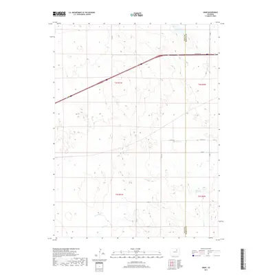
2019 Map of Omar
USGS Topo · Published 2019About this map
Omar sits as a central point of interest in this high-plains landscape on the boundary of Weld and Morgan Counties. The terrain is defined by a series of intermittent watercourses, most notably Kiowa Cr, which meanders across the central portion of the quadrangle. Other drainage patterns include Jack Rabbit Cr and Rock Cr, which lead toward the West Nile Reservoir in the southeastern quadrant. This environment is structured by a rigid section-line road network, including Co Rd 91 and Co Rd 1, supporting the agricultural character of the region. The inclusion of Frontage Rd and modern highway corridors indicates the intersection of rural transit and broader regional infrastructure during the late twenty-teens.
Find a feature on this map
20 named features on this map. Tap any name to fly to it.
Don’t see what you’re looking for? This feature index may not catch every label — zoom into the map to look around manually.
Map Details
Editions of this 2019 Omar Map
This is the sole edition of this map. No revisions or reprints were ever made.
Other maps of this area
1950 · Wiggins
USGS Topo · 1:24,000
1950 · South Roggen
USGS Topo · 1:24,000
1950 · Wiggins SW
USGS Topo · 1:24,000
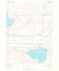
1950 · Masters
USGS Topo · 1:24,000
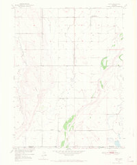
1950 · Hoyt
USGS Topo · 1:24,000
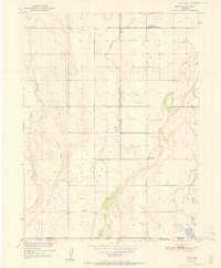
1951 · Hoyt
USGS Topo · 1:24,000
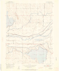
1951 · Masters
USGS Topo · 1:24,000
1951 · Orchard
USGS Topo · 1:24,000
1951 · Roggen
USGS Topo · 1:24,000
1951 · Omar
USGS Topo · 1:24,000