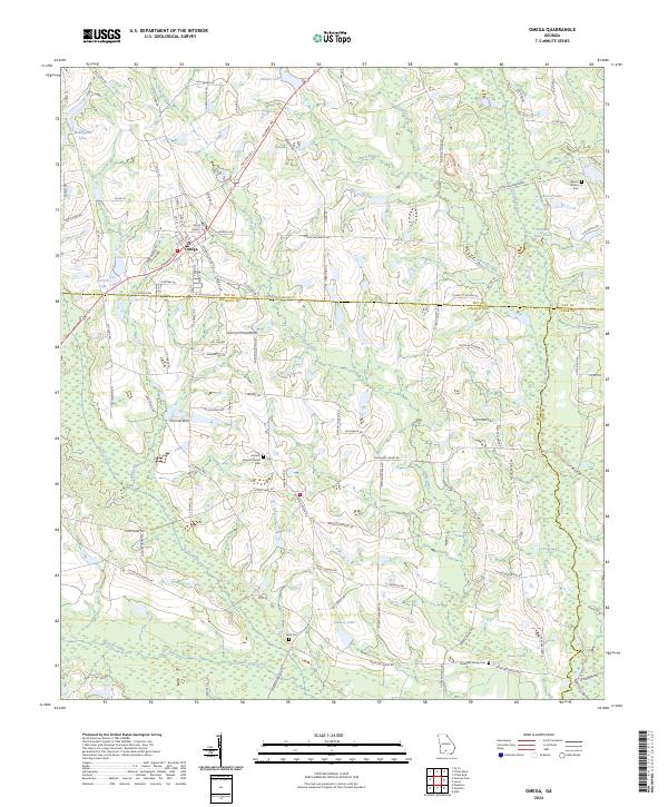
2024 Map of Omega
USGS Topo · Published 2024About this map
The town of Omega serves as the central hub of this agricultural landscape at the junction of Tift, Colquitt, and Cook counties. The terrain is defined by a dense network of slow-moving watercourses, including Gum Creek, Warrior Creek, and the Little River, which meander through the coastal plain. The distribution of small family and community burial sites, such as the McMillan Family Cem and Leila Cem, reflects the deep-rooted rural settlement patterns that have persisted in this corner of South Georgia for generations.
Find a feature on this map
106 named features on this map. Tap any name to fly to it.
Don’t see what you’re looking for? This feature index may not catch every label — zoom into the map to look around manually.
Map Details
Editions of this 2024 Omega Map
This is the sole edition of this map. No revisions or reprints were ever made.
Other maps of this area

1953 · Waycross
USGS Topo · 1:250,000

1958 · Waycross
USGS Topo · 1:250,000

1973 · Ty Ty
USGS Topo · 1:24,000

1973 · Norman Park
USGS Topo · 1:24,000

1973 · Adel
USGS Topo · 1:24,000

1973 · Lenox
USGS Topo · 1:24,000

1973 · Tifton East
USGS Topo · 1:24,000

1973 · Tifton West
USGS Topo · 1:24,000

1973 · Omega
USGS Topo · 1:24,000

1974 · Pineboro
USGS Topo · 1:24,000