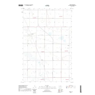
2017 Map of Omemee
USGS Topo · Published 2017About this map
Omemee sits at the heart of this Bottineau County landscape, a region defined by the organized grid of the Public Land Survey System. The area is characterized by a high concentration of wetlands and small water bodies typical of the North Dakota prairie, including the Belmar Slough. These natural features intersect with a rigid network of section-line roads, such as 89th St NE and 18th Ave NE, which dictate the movement across the terrain. Small rural centers like Belmar and Tasco appear as modest clusters in the open country, reflecting the agricultural heritage of the northern plains. The presence of the Tasco Cem near the eastern edge provides a specific point of interest for genealogists tracing local families. The drainage patterns of Miller Cr and Willow Cr wind through the township boundaries, illustrating the subtle topography of the Red River Valley’s western fringes.
Find a feature on this map
28 named features on this map. Tap any name to fly to it.
Don’t see what you’re looking for? This feature index may not catch every label — zoom into the map to look around manually.
Map Details
Editions of this 2017 Omemee Map
This is the sole edition of this map. No revisions or reprints were ever made.
Other maps of this area
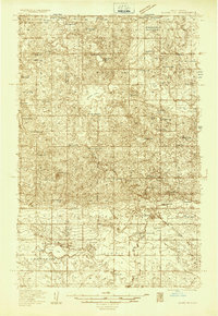
1935 · Dunseith
USGS Topo · 1:48,000
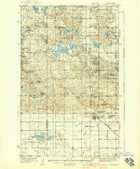
1939 · Dunseith
USGS Topo · 1:62,500
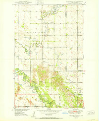
1950 · Willow City SW
USGS Topo · 1:24,000
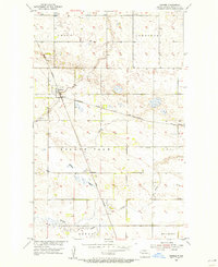
1954 · Omemee
USGS Topo · 1:24,000
1954 · Barton
USGS Topo · 1:24,000
1954 · Gardena
USGS Topo · 1:24,000
1954 · Willow City
USGS Topo · 1:24,000
1954 · Minot
USGS Topo · 1:250,000
1955 · Lords Lake
USGS Topo · 1:24,000
1955 · Overly
USGS Topo · 1:24,000