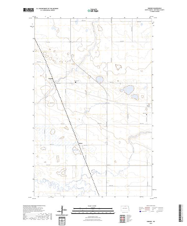
2024 Map of Omemee
USGS Topo · Published 2024About this map
Omemee and the surrounding prairie of Bottineau County are defined by a regular grid of section lines and gravel roads, a landscape shaped by the Public Land Survey System. This modern survey reflects the enduring layout of rural North Dakota, where the small settlements of Belmar and Tasco sit amidst an expansive network of wetlands and sloughs. The presence of Omemee Cem and Tasco Cem provides a tangible link to the early families who homesteaded this region.
Find a feature on this map
24 named features on this map. Tap any name to fly to it.
Don’t see what you’re looking for? This feature index may not catch every label — zoom into the map to look around manually.
Map Details
Editions of this 2024 Omemee Map
This is the sole edition of this map. No revisions or reprints were ever made.
Other maps of this area

1935 · Dunseith
USGS Topo · 1:48,000

1939 · Dunseith
USGS Topo · 1:62,500

1950 · Willow City SW
USGS Topo · 1:24,000

1954 · Omemee
USGS Topo · 1:24,000

1954 · Barton
USGS Topo · 1:24,000

1954 · Gardena
USGS Topo · 1:24,000

1954 · Willow City
USGS Topo · 1:24,000

1954 · Minot
USGS Topo · 1:250,000

1955 · Lords Lake
USGS Topo · 1:24,000

1955 · Overly
USGS Topo · 1:24,000