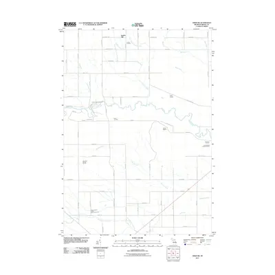
2011 Map of Omer SW
USGS Topo · Published 2011About this map
Omer Plains and Tyler Plains characterize this section of Arenac County, where the winding course of the Rifle River cuts through the center of the township. This 2011 survey documents a landscape defined by its river systems and small-scale settlements like Knights Mill. The industrial presence of the Deep River Gas and Oil Field stands out in the western portion of the map, suggesting the area's continued reliance on natural resource extraction.
Find a feature on this map
72 named features on this map. Tap any name to fly to it.
Don’t see what you’re looking for? This feature index may not catch every label — zoom into the map to look around manually.
Map Details
Editions of this 2011 Omer SW Map
This is the sole edition of this map. No revisions or reprints were ever made.
Other maps of this area

1954 · Traverse City
USGS Topo · 1:250,000

1954 · Midland
USGS Topo · 1:250,000

1954 · Flint
USGS Topo · 1:250,000

1954 · Tawas City
USGS Topo · 1:250,000

1958 · Traverse City
USGS Topo · 1:250,000

1958 · Flint
USGS Topo · 1:250,000

1958 · Tawas City
USGS Topo · 1:250,000

1958 · Midland
USGS Topo · 1:250,000

1959 · Midland
USGS Topo · 1:250,000

1966 · Midland
USGS Topo · 1:250,000