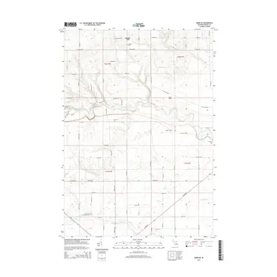
2014 Map of Omer SW
USGS Topo · Published 2014About this map
The Rifle River winds through the heart of this landscape in Arenac County, defining a region characterized by small rural settlements and an extensive drainage network. Along the northern reaches, Knights Mill and the Clayton Cem anchor the community, while the open spaces of Tyler Plains and Omer Plains suggest the agricultural and timber-clearing history of the area. The map reveals a dense system of creeks, including Townline Cr and its branches, which feed into the primary river systems. Genealogists will find particular value in the several documented burial grounds, most notably the Saint Joseph's Polish National Cem in the southwest and Evergreen Cem to the east. The road network, including Highbanks Dr and Deep River RD, follows the natural contours of the river valleys and township lines established by the Public Land Survey System.
Find a feature on this map
69 named features on this map. Tap any name to fly to it.
Don’t see what you’re looking for? This feature index may not catch every label — zoom into the map to look around manually.
Map Details
Editions of this 2014 Omer SW Map
This is the sole edition of this map. No revisions or reprints were ever made.
Other maps of this area

1954 · Traverse City
USGS Topo · 1:250,000

1954 · Midland
USGS Topo · 1:250,000

1954 · Flint
USGS Topo · 1:250,000

1954 · Tawas City
USGS Topo · 1:250,000

1958 · Traverse City
USGS Topo · 1:250,000

1958 · Flint
USGS Topo · 1:250,000

1958 · Tawas City
USGS Topo · 1:250,000

1958 · Midland
USGS Topo · 1:250,000

1959 · Midland
USGS Topo · 1:250,000

1966 · Midland
USGS Topo · 1:250,000