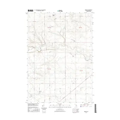
2017 Map of Omer SW
USGS Topo · Published 2017About this map
Knights Mill and the surrounding reaches of Arenac County are defined by a complex network of waterways feeding into the Rifle River and Pine River. This landscape in Deep River Township transitions from the agricultural flats of Omer Plains and Tyler Plains into the wooded drainages of Saverine Cr and Big Cr. The area maintains a strong rural character, preserved in the grid of local roads like W Main Street Rd and Huron Rd. For genealogists, the map is particularly useful for locating several distinct burial sites, including the Saint Joseph's Polish National Cem in the southwest and Evergreen Cem to the east. These landmarks, alongside the Plains Cem and Clayton Cem, provide specific points of reference for tracing family lineages across these Michigan townships.
Find a feature on this map
53 named features on this map. Tap any name to fly to it.
Don’t see what you’re looking for? This feature index may not catch every label — zoom into the map to look around manually.
Map Details
Editions of this 2017 Omer SW Map
This is the sole edition of this map. No revisions or reprints were ever made.
Other maps of this area

1954 · Traverse City
USGS Topo · 1:250,000

1954 · Midland
USGS Topo · 1:250,000

1954 · Flint
USGS Topo · 1:250,000

1954 · Tawas City
USGS Topo · 1:250,000

1958 · Traverse City
USGS Topo · 1:250,000

1958 · Flint
USGS Topo · 1:250,000

1958 · Tawas City
USGS Topo · 1:250,000

1958 · Midland
USGS Topo · 1:250,000

1959 · Midland
USGS Topo · 1:250,000

1966 · Midland
USGS Topo · 1:250,000