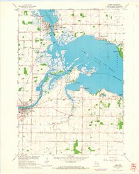
1961 Map of Omro
USGS Topo · Published 1966About this map
The Wolf River and Fox River converge within a sprawling marshy basin in this early 1960s survey of Winnebago County. The landscape is defined by the broad waters of Lake Winneconne and Lake Butte des Morts, where the Chicago Milwaukee St Paul and Pacific railroad tracks cut across the wetlands. Small lakeside developments like Nichols Shore Acres, Rivermoor, and Reighmoor highlight the mid-century growth of recreational and residential communities along the shoreline, contrasting with the established hubs of Winneconne and Omro.
Find a feature on this map
43 named features on this map. Tap any name to fly to it.
Don’t see what you’re looking for? This feature index may not catch every label — zoom into the map to look around manually.
Map Details
Editions of this 1961 Omro Map
2 editions found
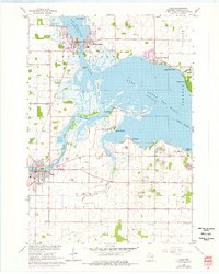
Other maps of this area

1916 · Ripon
USGS Topo · 1:48,000

1918 · Ripon
USGS Topo · 1:62,500

1955 · Green Bay
USGS Topo · 1:250,000

1956 · Ripon
USGS Topo · 1:62,500

1956 · Rosendale
USGS Topo · 1:62,500

1957 · Madison
USGS Topo · 1:250,000

1960 · Madison
USGS Topo · 1:250,000

1961 · Oshkosh
USGS Topo · 1:24,000

1961 · Poy Sippi
USGS Topo · 1:62,500

1961 · Oshkosh
USGS Topo · 1:62,500