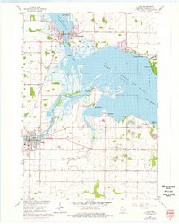
1961 Map of Omro
USGS Topo · Published 1976About this map
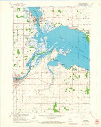
The convergence of the Wolf River and the Fox River defines the landscape of Winnebago County in the early 1960s, creating a complex network of waterways and marshes. The village of Winneconne sits at the northern gateway, where the river meets Lake Winneconne, while the community of Butte des Morts overlooks its namesake lake to the east. Extensive wetland areas like Nickels Marsh and the prominent Terrell Island illustrate the hydrologic character of the region before significant modern development altered the shoreline.
Find a feature on this map
43 named features on this map. Tap any name to fly to it.
Don’t see what you’re looking for? This feature index may not catch every label — zoom into the map to look around manually.
Map Details
Editions of this 1961 Omro Map
2 editions found
Other maps of this area

1916 · Ripon
USGS Topo · 1:48,000

1918 · Ripon
USGS Topo · 1:62,500

1955 · Green Bay
USGS Topo · 1:250,000

1956 · Ripon
USGS Topo · 1:62,500

1956 · Rosendale
USGS Topo · 1:62,500

1957 · Madison
USGS Topo · 1:250,000

1960 · Madison
USGS Topo · 1:250,000

1961 · Oshkosh
USGS Topo · 1:24,000

1961 · Poy Sippi
USGS Topo · 1:62,500

1961 · Oshkosh
USGS Topo · 1:62,500