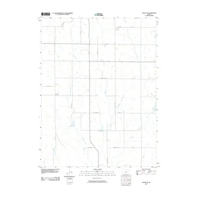
2010 Map of Onaga NE
USGS Topo · Published 2010About this map
Fairview Cemetery sits near the intersection of Lincoln Rd and Elliot Rd, serving as a central landmark in this agricultural section of Pottawatomie County. The landscape is defined by a dense network of watercourses, where the headwaters of Little Noxie Creek and Big Noxie Creek flow southward, and Cross Creek cuts through the eastern portion of the survey. To the northeast, the small catchments of Riley Lakes provide a rare variation in the prairie terrain.
Find a feature on this map
29 named features on this map. Tap any name to fly to it.
Don’t see what you’re looking for? This feature index may not catch every label — zoom into the map to look around manually.
Map Details
Editions of this 2010 Onaga NE Map
This is the sole edition of this map. No revisions or reprints were ever made.
Other maps of this area

1888 · Hiawatha
USGS Topo · 1:125,000

1889 · Seneca
USGS Topo · 1:125,000

1889 · Wamego
USGS Topo · 1:125,000

1889 · Topeka
USGS Topo · 1:125,000

1894 · Seneca
USGS Topo · 1:125,000

1894 · Topeka
USGS Topo · 1:125,000

1894 · Hiawatha
USGS Topo · 1:125,000

1894 · Wamego
USGS Topo · 1:125,000

1950 · Kansas City
USGS Topo · 1:250,000

1954 · Kansas City
USGS Topo · 1:250,000