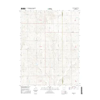
2015 Map of Onaga NE
USGS Topo · Published 2015About this map
Big Noxie Creek and Little Noxie Creek define the drainage of this prairie landscape along the border of Pottawatomie and Jackson counties. The map documents a rural agricultural region primarily structured by a precise grid of section roads like English Ridge Road and Fairview Road. Small local landmarks and points of interest for genealogists include Fairview Cemetery and the combined Bucks Grove Church Cemetery in the eastern hills. The presence of Riley Lakes in the northeast and numerous creek branches such as Spring Creek and Long Branch highlight the water-rich nature of these Kansas uplands. This survey reflects the persistence of traditional land divisions and the quiet continuity of rural life in the region.
Find a feature on this map
44 named features on this map. Tap any name to fly to it.
Don’t see what you’re looking for? This feature index may not catch every label — zoom into the map to look around manually.
Map Details
Editions of this 2015 Onaga NE Map
This is the sole edition of this map. No revisions or reprints were ever made.
Other maps of this area
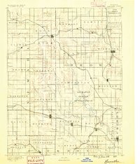
1888 · Hiawatha
USGS Topo · 1:125,000
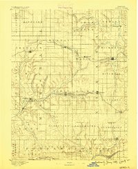
1889 · Seneca
USGS Topo · 1:125,000
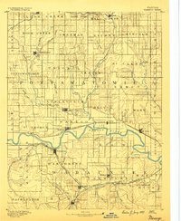
1889 · Wamego
USGS Topo · 1:125,000
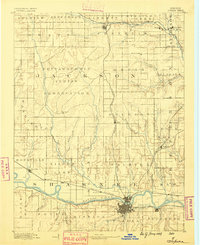
1889 · Topeka
USGS Topo · 1:125,000
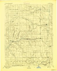
1894 · Seneca
USGS Topo · 1:125,000
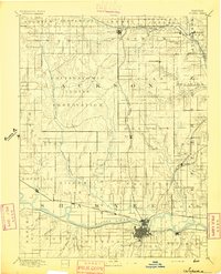
1894 · Topeka
USGS Topo · 1:125,000
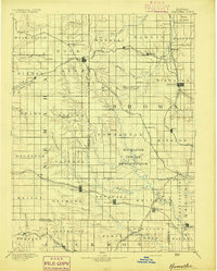
1894 · Hiawatha
USGS Topo · 1:125,000
1894 · Wamego
USGS Topo · 1:125,000
1950 · Kansas City
USGS Topo · 1:250,000
1954 · Kansas City
USGS Topo · 1:250,000