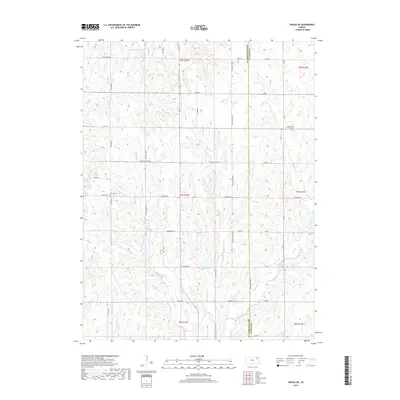
2018 Map of Onaga NE
USGS Topo · Published 2018About this map
Jackson and Pottawatomie counties divide this agricultural landscape in northeastern Kansas, where the headwaters of numerous creeks carve a complex network of drainages into the high ground. The terrain is defined by the divides between watercourses like Big Noxie Cr and Little Noxie Cr, which flow south toward the Kansas River basin. A persistent grid of section-line roads, including Fairview Rd and Pleasant Ridge Rd, structures the territory, punctuated by long-standing community landmarks. Near the eastern county line, the Bucks Grove Church and its adjacent Bucks Grove Cem serve as a focal point for local history, while Fairview Cem sits isolated among the fields to the west. This 2018 survey illustrates the continuity of rural land use, where family-named routes like Jess Willard Rd and English Ridge Rd trace the paths of generations of settlers.
Find a feature on this map
43 named features on this map. Tap any name to fly to it.
Don’t see what you’re looking for? This feature index may not catch every label — zoom into the map to look around manually.
Map Details
Editions of this 2018 Onaga NE Map
This is the sole edition of this map. No revisions or reprints were ever made.
Other maps of this area
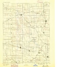
1888 · Hiawatha
USGS Topo · 1:125,000
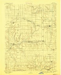
1889 · Seneca
USGS Topo · 1:125,000
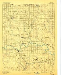
1889 · Wamego
USGS Topo · 1:125,000
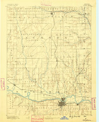
1889 · Topeka
USGS Topo · 1:125,000
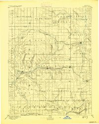
1894 · Seneca
USGS Topo · 1:125,000
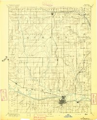
1894 · Topeka
USGS Topo · 1:125,000
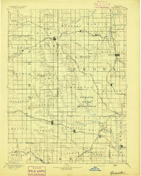
1894 · Hiawatha
USGS Topo · 1:125,000
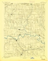
1894 · Wamego
USGS Topo · 1:125,000
1950 · Kansas City
USGS Topo · 1:250,000
1954 · Kansas City
USGS Topo · 1:250,000