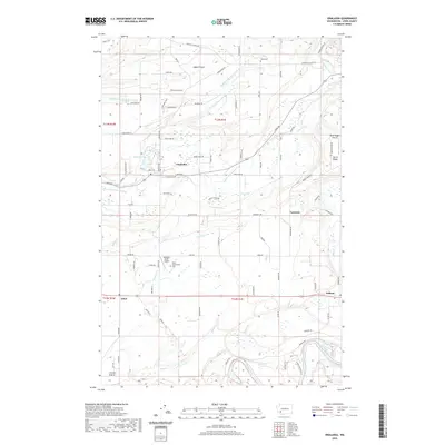
2020 Map of Onalaska
USGS Topo · Published 2020About this map
Onalaska serves as a central hub in this Lewis County landscape, situated near the headwaters of the S Fork Newaukum River and the industrial remnants surrounding Carlisle Lake. The geography here transitions from the wide, open Alpha Prairie in the north to the rolling elevations of Burnt Ridge in the east. Along the southern edge of the survey, the Cowlitz River flows through the fertile lands of Cowlitz Prairie, a region marked by early pioneer settlement and long-standing agricultural use. Local history is anchored by the Alpha Cem and Ethel Greenwood Cem, which provide specific points of interest for genealogical research. The presence of small landing strips like Nelsons Nitch Airport and Burnt Ridge Airstrip underscores the rural, spread-out nature of these communities in the foothills of the Cascades.
Find a feature on this map
129 named features on this map. Tap any name to fly to it.
Don’t see what you’re looking for? This feature index may not catch every label — zoom into the map to look around manually.
Map Details
Editions of this 2020 Onalaska Map
This is the sole edition of this map. No revisions or reprints were ever made.
Other maps of this area

1916 · Chehalis
USGS Topo · 1:125,000

1941 · Olequa
USGS Topo · 1:62,500

1942 · Toutle
USGS Topo · 1:62,500

1943 · Willapa
USGS Topo · 1:62,500

1953 · Hoquiam
USGS Topo · 1:250,000

1953 · Toutle
USGS Topo · 1:62,500

1953 · Castle Rock
USGS Topo · 1:62,500

1954 · Onalaska
USGS Topo · 1:62,500

1954 · Centralia
USGS Topo · 1:62,500

1957 · Hoquiam
USGS Topo · 1:250,000