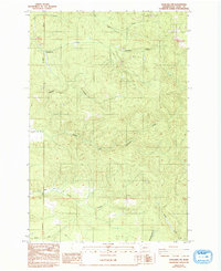
1985 Map of Onalaska NW
USGS Topo · Published 1993About this map
The North Fork Newaukum River and its numerous tributaries dominate this drainage-focused landscape in Lewis County. By the mid-1980s, this area reflects a terrain shaped by water and limited industry, with various Borrow Pits and a Gravel Pit indicating local resource extraction. The map reveals a complex network of creeks, including Hanaford Creek and Thompson Creek in the north, flowing toward the larger river systems. Transportation is defined by a series of rural routes such as Lucas Creek Road, Alpha Road, and Centralia Road, which follow the contours of the valleys and provide access between the ridges. The survey captures the transition from the Township 15 North boundary down to Frase Creek, documenting the hydrological patterns before minor revisions in the early 1990s.
Find a feature on this map
17 named features on this map. Tap any name to fly to it.
Don’t see what you’re looking for? This feature index may not catch every label — zoom into the map to look around manually.
Map Details
Editions of this 1985 Onalaska NW Map
2 editions found
Other maps of this area

1916 · Chehalis
USGS Topo · 1:125,000

1940 · Tenino
USGS Topo · 1:62,500

1943 · Willapa
USGS Topo · 1:62,500

1944 · Tenino
USGS Topo · 1:62,500

1944 · Yelm
USGS Topo · 1:62,500

1949 · Yelm
USGS Topo · 1:62,500

1949 · Tenino
USGS Topo · 1:62,500

1953 · Hoquiam
USGS Topo · 1:250,000

1954 · Onalaska
USGS Topo · 1:62,500

1954 · Centralia
USGS Topo · 1:62,500