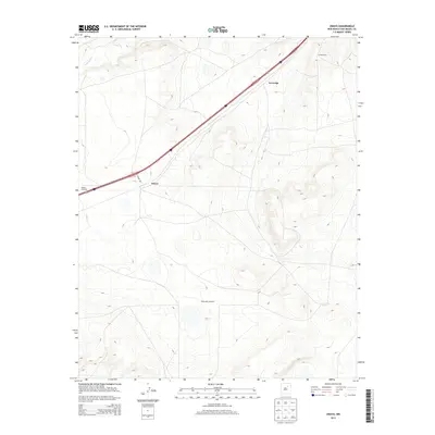
2013 Map of Onava
USGS Topo · Published 2013About this map
Onava and the high plains of San Miguel County are defined by a landscape of sparse ranching infrastructure and critical transportation corridors. The corridor of Interstate 25 and U.S. Route 85 bisects the terrain diagonally, connecting the small settlement at Kroenigs with the surrounding open range. This map documents a transitional landscape where traditional water-management features like Walker Windmill and Shoemaker Windmill support agricultural operations such as the Circle Ranch. The Sapello River cuts through the northwest corner of the quadrangle, providing a vital natural water source in an otherwise arid environment. Local transit is managed via routes like Onava Rd, which provides access to the central ranching interests that have historically sustained this portion of New Mexico.
Find a feature on this map
9 named features on this map. Tap any name to fly to it.
Don’t see what you’re looking for? This feature index may not catch every label — zoom into the map to look around manually.
Map Details
Editions of this 2013 Onava Map
This is the sole edition of this map. No revisions or reprints were ever made.
Other maps of this area
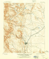
1889 · Las Vegas
USGS Topo · 1:125,000
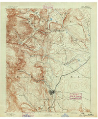
1891 · Las Vegas
USGS Topo · 1:125,000
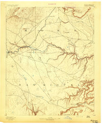
1892 · Watrous
USGS Topo · 1:125,000
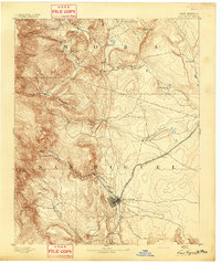
1893 · Las Vegas
USGS Topo · 1:125,000
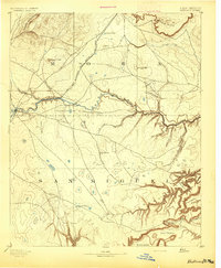
1894 · Watrous
USGS Topo · 1:125,000
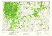
1954 · Santa Fe
USGS Topo · 1:250,000
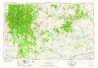
1958 · Santa Fe
USGS Topo · 1:250,000
1963 · Lake Isabel
USGS Topo · 1:24,000
1963 · Las Vegas SE
USGS Topo · 1:24,000
1963 · Las Vegas
USGS Topo · 1:24,000