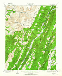
1920 Map of Onego
USGS Topo · Published 1963About this map
The North Fork Potomac River carves a deep valley through this 1920 portrait of the high Alleghenies. Small mountain hamlets and family-named landmarks are scattered across the landscape, including the notable Germany Settlement and the river junction at Mouth of Seneca. The terrain is defined by a series of dramatic ridges and high plateaus, such as the Roaring Plains and Flatrock Plains, which separate the river valleys.
Find a feature on this map
103 named features on this map. Tap any name to fly to it.
Don’t see what you’re looking for? This feature index may not catch every label — zoom into the map to look around manually.
Map Details
Editions of this 1920 Onego Map
2 editions found

Other maps of this area

1886 · St. George
USGS Topo · 1:125,000

1889 · Beverly
USGS Topo · 1:125,000

1891 · St. George
USGS Topo · 1:125,000

1892 · Beverly
USGS Topo · 1:125,000

1892 · Franklin
USGS Topo · 1:125,000

1895 · Piedmont
USGS Topo · 1:125,000

1896 · Franklin
USGS Topo · 1:125,000

1908 · Parsons
USGS Topo · 1:62,500

1916 · Davis
USGS Topo · 1:48,000

1918 · Davis
USGS Topo · 1:62,500