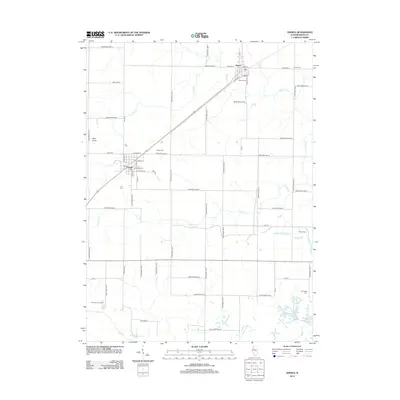
2012 Map of Oneida
USGS Topo · Published 2012About this map
The agricultural landscape of Knox County is anchored by the communities of Oneida and Altona, which sit along the northeast-to-southwest transport corridor. This 2012 survey reveals a terrain defined by a dense grid of rural roads and the meandering paths of Pilot Cr, Forman Cr, and Walnut Cr. Local history and genealogy interest is particularly concentrated in the distribution of family and community burial sites, including the Larson Cem near the northern boundary and the Old Scotch Cem situated in the southeastern corner near Lake Windsor. To the west, the elevation at Pilot Knob provides a rare point of topographical variation in this stretch of Illinois farmland. The map also documents modern land use, notably the Knox County Landfill located southwest of Oneida, reflecting the ongoing evolution of this rural district.
Find a feature on this map
62 named features on this map. Tap any name to fly to it.
Don’t see what you’re looking for? This feature index may not catch every label — zoom into the map to look around manually.
Map Details
Editions of this 2012 Oneida Map
This is the sole edition of this map. No revisions or reprints were ever made.
Other maps of this area

1925 · Galesburg
USGS Topo · 1:62,500

1927 · Galesburg
USGS Topo · 1:62,500

1931 · Galva
USGS Topo · 1:48,000

1940 · Galva
USGS Topo · 1:62,500

1941 · Maquon
USGS Topo · 1:62,500

1943 · Maquon
USGS Topo · 1:62,500

1944 · Galva
USGS Topo · 1:62,500

1947 · Woodhull
USGS Topo · 1:62,500

1953 · Nekoma
USGS Topo · 1:24,000

1953 · Woodhull
USGS Topo · 1:24,000