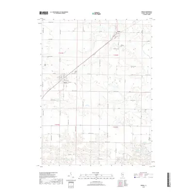
2018 Map of Oneida
USGS Topo · Published 2018About this map
Oneida and Altona serve as the primary hubs in this section of Knox County, surrounded by a landscape defined by an orderly grid of country roads and local creek drainages. The area is notable for its concentration of small burial grounds, including the Old Scotch Cem, Martin Cem, and Walnut Grove Cem, which provide significant points of interest for genealogical research. The terrain is marked by subtle rises such as Pilot Knob and several small bodies of water like Lake Windsor and Fishhook Lake that dot the southern reaches. The transport network is anchored by a rail line cutting diagonally through the center, passing directly through Altona and Oneida, while the surrounding territory is intricately divided by rural routes like Ratley Rd and Coal Rd. This configuration reflects the enduring agricultural character of the Illinois prairie, where small-town centers were strategically spaced along the railway to serve the surrounding farms.
Find a feature on this map
59 named features on this map. Tap any name to fly to it.
Don’t see what you’re looking for? This feature index may not catch every label — zoom into the map to look around manually.
Map Details
Editions of this 2018 Oneida Map
This is the sole edition of this map. No revisions or reprints were ever made.
Other maps of this area
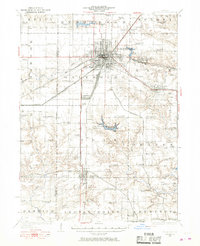
1925 · Galesburg
USGS Topo · 1:62,500
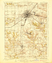
1927 · Galesburg
USGS Topo · 1:62,500
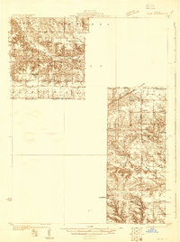
1931 · Galva
USGS Topo · 1:48,000
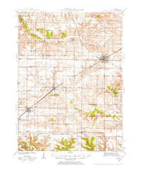
1940 · Galva
USGS Topo · 1:62,500
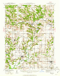
1941 · Maquon
USGS Topo · 1:62,500
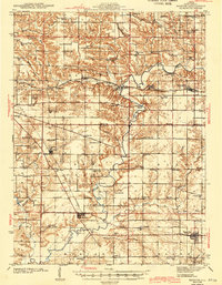
1943 · Maquon
USGS Topo · 1:62,500
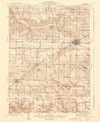
1944 · Galva
USGS Topo · 1:62,500
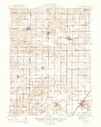
1947 · Woodhull
USGS Topo · 1:62,500
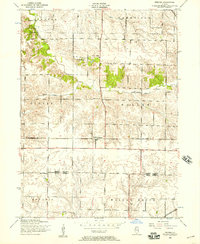
1953 · Nekoma
USGS Topo · 1:24,000
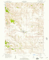
1953 · Woodhull
USGS Topo · 1:24,000